ISLAMABAD: Pakistan’s national space agency, the Space and Upper Atmosphere Research Commission (SUPARCO), is deploying satellite imagery and real-time mapping to aid flood relief operations across the country. With monsoon floods claiming over 800 lives and displacing millions, the agency has become the “eye in the sky,” providing data that speeds up evacuations, rescue missions, and recovery planning.
SACRED and Disaster Management: SUPARCO’s Backbone for Emergencie
Since the establishment of its Space Application Center for Response in Emergency and Disasters (SACRED) in 2014, SUPARCO has played a central role in disaster management. Using earth observation satellites, the agency monitors flood-hit regions, river shifts, and rising water levels, helping authorities respond faster and more effectively.
Real-Time SUPARCO Satellite Imagery Speeds Up Flood Rescues
“Rapid response is critical,” said Jahanzeb Khan, General Manager Image Processing at SUPARCO. “We capture satellite images of flood-affected areas in near real time and share them with national and provincial institutions within an hour. This helps save lives by guiding rescue teams to priority zones.”
Pre- and Post-Flood Damage Assessment with Space Technology
Moreover, SUPARCO compares pre- and post-flood images to assess the scale of damage, from destroyed roads to submerged settlements. According to Aisha Rabbia, General Manager Satellite Planning, the agency’s independent satellite links ensure that data flows even when conventional communication systems fail. “Our satellites work day and night, without limitation, allowing immediate damage assessment and recovery planning,” she explained.
SUPARCO’s Role in Long-Term Flood Recovery and Rehabilitation
In addition to emergency response, SUPARCO supports long-term recovery by mapping crop losses, guiding urban planning, and providing rehabilitation strategies. The agency is also strengthening its capabilities, with two more earth observation satellites scheduled for launch by the end of this year.
NatCat Project: Proactive Flood Disaster Risk Management in Pakistan
Dr. Muhammad Farooq, Director of SACRED, emphasized a shift from reactive to proactive disaster planning. He highlighted the Natural Catastrophic Modeling Project (Nat Cat), which helps authorities identify high-risk areas in advance, enabling preventive measures before disasters strike.
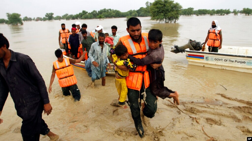
Punjab Floods Highlight Urgent Need for Satellite-Based Relief
The ongoing floods have devastated Punjab, Pakistan’s agricultural heartland, where over 429,000 people have been evacuated and nearly 1.5 million affected. With its advanced satellite tools, SUPARCO is ensuring that critical relief efforts reach those who need them most, demonstrating how space technology is saving lives on the ground.